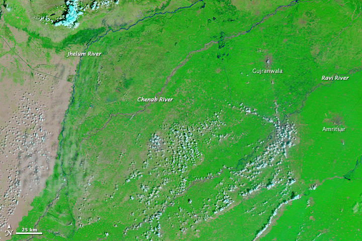
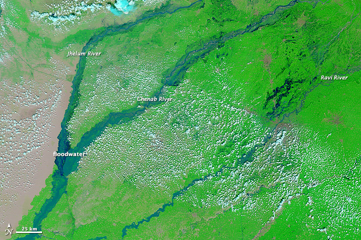
From September 3 – 7, about 12 inches of rain fell in the India-Pakistan region of Kashmir. The resulting flooding has resulted in a death toll of at least 200, and well over 100,000 people were rescued by the military. NASA’s Terra satellite shows the dramatic expansion of the region’s rivers between August 31 and September 11 to 10 km-wide channels stretching for hundreds of kilometers:


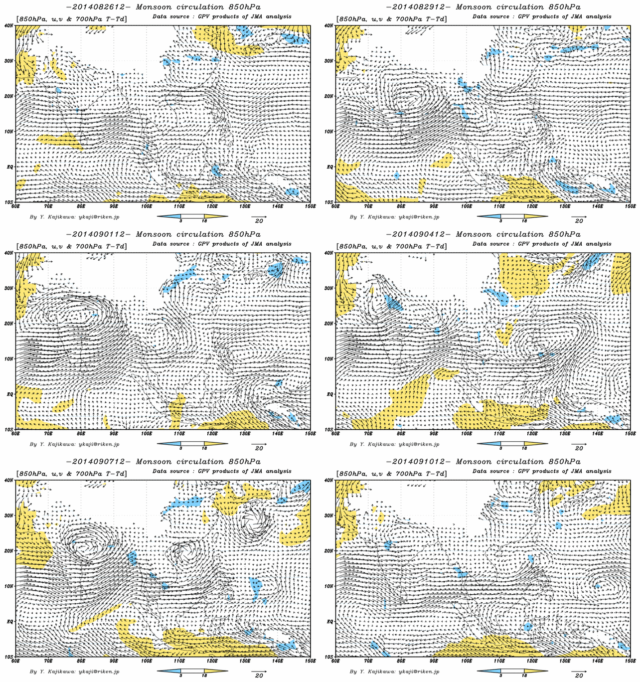
This torrential rainfall was produced by a monsoon depression — a type of storm that is substantially weaker than a typhoon but can pass over land without loss of intensity. An average of 5 or 6 monsoon depressions form every year in the Indian region, with most originating over the ocean east of India and then propagating to the northwest. This particular one seems to be fairly intense (animation compiled from images obtained from Yoshi Kajikawa’s monsoon site at the University of Hawaii):
There is some discussion of this monsoon depression interacting with an eastward-propagating midlatitude disturbance, thereby producing the extreme rainfall observed in the region. Further analysis is needed to understand the meteorology of this event, why it produced such unusually strong rainfall in what has this season been an otherwise fairly dry region, and how often similar extreme events should be expected in the future.
